Topography of Terror 2002
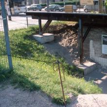
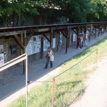
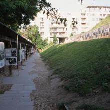
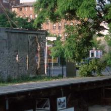
In 2002, when the photographs shown here were taken, the Topography of Terror still displayed the provisional and open-ended quality of its earliest incarnations. It had undergone some changes and improvements since the first exhibition, but it still seemed somewhat precarious: the documentation center was housed in a small container, the open-air exhibition was sheltered by a simple wooden structure, and the middle of the site (most of which was not accessible) was a combination of overgrown vegetation and rough trenches. The unfinished ruin of Peter Zumthor’s design for a new documentation center—a project which was halted midway and then demolished—added to the unkempt, uncertain tone of the site.
But by then, the Topography of Terror was already a famous tourist attraction, aided by its proximity to the new centers of political and commercial power in the city: the government center and Postdamer Platz, both of which are within walking distance. Visitors to the site in 2002 could relive the spatial impression of the original, guerilla exhibition, but all around the city was already changing in ways that pointed to much more polished, mainstream, and defined spaces. Although the impression of provisionality remained, the guerilla was no more; the Topography of Terror was itself becoming a mainstream and cherished station in Berlin’s memory circuit.


